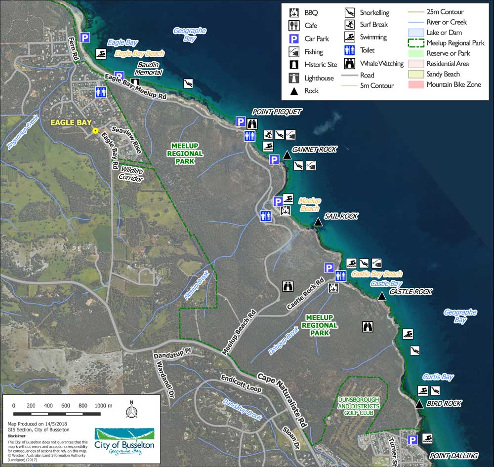
The Park has three main waterways that flow seasonally: Jingarmup Brook, Meelup Brook and Dolugup Brook. The headwaters of a tributary of the Dandatup Brook starts in the southern section of the Park flowing through residential areas of Dunsborough to Geographe Bay. These waterways provide habitat and food sources for a diversity of native fauna including freshwater crayfish, fish, frogs, waterbirds and terrestrial native fauna. A River Action Plan developed by the Cape to Cape Catchment Group in 2006 outlines the characteristics, values, condition and management issues of the Dunsborough streams (including Meelup Brook and Dolugup Brook) and Jingarmup Brook.
Meelup Regional Park provides some protection for these waterways where vegetation remains intact and in excellent condition, however threats to these waterways are always present. Increased development in the catchment, tourism and recreation can result in the spread of weeds and dieback as well as disturbance to flows via dams, access tracks or service infrastructure. The Department of Water and Environmental Regulation has been monitoring the water quality of the Dunsborough streams and Jingarmup Brook fortnightly since 2006 and have found that the sub-catchments of these streams deliver comparatively low nutrient loads to Geographe Bay relative to other sub-catchments.
The good condition of these waterways may be linked to a strong and active involvement by the local community in the ongoing protection and restoration of these waterways. The Meelup Regional Park Committee in partnership with the City of Busselton and volunteers have undertaken significant works including rock armouring for erosion control, installation of culverts where firebreaks occur and foreshore re-vegetation. The City's annual weed control program will target Jingarmup, Meelup and Dolugup Brook focussing on high priority weeds and protection of re-vegetation areas.
The 'GeoCatch River Action Plan for the Cape Naturaliste Streams' developed by the Cape to Cape Catchments Group in 2006 outlines the characteristics, values, condition and management issues of Jingarmup Brook, Meelup Brook and Dolugup Brook.
Jingarmup Brook
Jingarmup Brook is the westernmost waterway in the Geographe catchment, located close to Cape Naturaliste. The brook is approximately 17km long and provides habitat several fauna including the gilgie, a native freshwater crayfish, the swan river goby and sea mullet. The western half of the Jingarmup catchment is comprised of native vegetation.
Meelup Brook
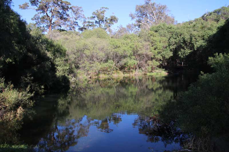
Meelup Brook is part of the Dunsborough streams catchment area, the upper half of Meelup Brook flows through a vineyard and agricultural land before entering the Meelup Regional Park A number of tributaries join the Brook before it discharges at Meelup Beach. Numerous on-stream dams are present on Meelup Brook in the upper reaches of the waterway.
Dolugup Brook
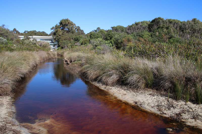
Dolugup Brook occurs entirely within Meelup Regional Park and discharges at Castle Bay. The entire catchment of this waterway is vegetated and relatively undisturbed with the exception of an old gravel pit and recreational use near the mouth at Castle Bay. This waterway is the least disturbed of the 14 waterways of the Geographe Catchment.
Meelup Park Waterways Map